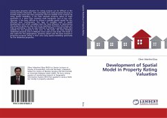
Conducting property valuation for rating purpose can be difficult as the activity involves exhaustive, time consuming and costly processes because it involves large areas and many properties that are needed to be covered. By using spatial modelling, it can help estimate property values of large quantities in a short time involving small manpower and at low cost. However, it has been difficult to choose a suitable spatial model for the affected area. Furthermore, the type of variables used in model development and which variables have the most influence in determining the property rating are also hard to be examined. Therefore, this book can help by providing a step by step method to develop a spatial model that suitable for the property in the area. In this book, the Kota Kinabalu residential property area in Malaysia were used as case study. This book is also useful for the geographers, property valuers and the local councils in preparing property rating in their area using spatial modelling specifically for the residential properties.
Bitte wählen Sie Ihr Anliegen aus.
Rechnungen
Retourenschein anfordern
Bestellstatus
Storno

