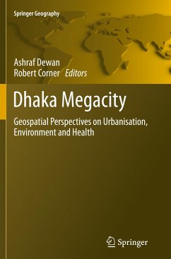
The book Dhaka Megacity: Geospatial Perspectives on Urbanisation, Environment and Health presents the use of geospatial techniques to address a number of environmental issues, including land use change, climatic variability, urban sprawl, population density modelling, flooding, environmental health, water quality, energy resources, urban growth modelling, infectious diseases and the quality of life. Although the work is focused on the Megacity of Dhaka in Bangladesh, the techniques and methods that are used to research these issues can be utilized in any other areas where rapid population growth coupled with unplanned urbanization is leading to environmental degradation.
The book is useful for people working in the area of Geospatial Science, Urban Geography, Environmental Management and International Development. Since the chapters in the book cover a range of environmental issues, this book describes useful tools for assisting informed decision making, particularlyin developing countries.
The book is useful for people working in the area of Geospatial Science, Urban Geography, Environmental Management and International Development. Since the chapters in the book cover a range of environmental issues, this book describes useful tools for assisting informed decision making, particularlyin developing countries.

