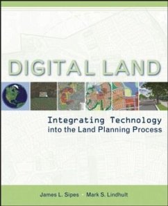
A complete guide to digital tools for today's land planner
The land planning process is a complex activity. Fortunately, an array of powerful tools are now available for performing the multitude of tasks that face the planner, from evaluating design alternatives for a particular use to visualizing the impact of a development proposal. This book introduces land planning professionals and those lay people interested in land planning decisions to the current technologies and how they can be applied in building a framework for planning and design as well as representing concepts and final proposals.
A guide for both practitioners trained in traditional hand techniques and for newer planners and students trained in digital techniques but lacking a clear understanding of process, Digital Land: Integrating Technology into the Land Planning Process:
_
Provides you with a range of sources where you can find digital data
_
Illustrates how to share, store, and manage data, and identifies the issues that you must confront-scale, data accuracy, resolution-before the data can be put to use
_
Describes the major categories of digital tools for processing data and guides you on how to choose the right tool
_
Outlines strategies and contexts for integrating the tools holistically into the decision-making process
Tools covered include:
_
Geographic Information Systems (GIS)
_
Multimedia, Web technology, and digital video
_
Computer-Aided Design (CAD)
_
Image processing and more
_
3D modeling, rendering, and animation
Professional planners and designers, interested citizens, decision makers, resource managers, earth scientists, and students will benefit from this guide to the new tools for land planning-tools that allow you to see things you couldn't see before, incorporate data that was once inaccessible, make decisions based upon more than intuition, and explore the widest range of alternatives possible.
Hinweis: Dieser Artikel kann nur an eine deutsche Lieferadresse ausgeliefert werden.

