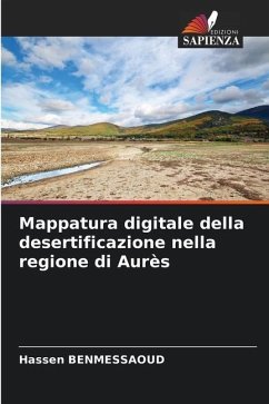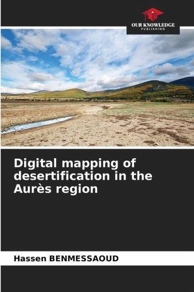
Digital mapping of desertification in the Aurès region
Versandkostenfrei!
Versandfertig in 6-10 Tagen
29,99 €
inkl. MwSt.

PAYBACK Punkte
15 °P sammeln!
Desertification represents both an environmental and a development problem. This phenomenon affects the local environment and the way of life of the populations, but its effects have due to many interactions more global repercussions at the level of biodiversity. Algeria is part of a bioclimatic region where dry areas constitute the major part of the territory (coastline: 2%; steppe: 11%; Sahara and oases: 87%). The steppe area is currently very threatened by the phenomenon of desertification. The mapping and monitoring of the spatial extension of desertification is one of the bases of knowled...
Desertification represents both an environmental and a development problem. This phenomenon affects the local environment and the way of life of the populations, but its effects have due to many interactions more global repercussions at the level of biodiversity. Algeria is part of a bioclimatic region where dry areas constitute the major part of the territory (coastline: 2%; steppe: 11%; Sahara and oases: 87%). The steppe area is currently very threatened by the phenomenon of desertification. The mapping and monitoring of the spatial extension of desertification is one of the bases of knowledge of the phenomenon of desertification.The choice of the Aurès as a typical research field, is justified in more than one way: Indeed, the Aurès massif offers the characteristics of a distinct and individualized physical unit integrating two great piedmonts of northern and southern orientation subjected to different climatic influences and responding to the effects of desertification in different ways.


