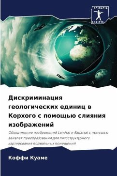
Discrimination of geological units in Korhogo by image fusion
Wavelet transform fusion of Landsat and Radarsat images for lithostructural mapping of the basement
Versandkostenfrei!
Versandfertig in 6-10 Tagen
46,99 €
inkl. MwSt.

PAYBACK Punkte
23 °P sammeln!
The optimal use of optical and radar images is a major topic of interest in remote sensing. The main objective of this study is to explore the potential of optical-radar fusion for lithostructural mapping of the Precambrian basement of West Africa. The spatial resolution of the Radarsat band (50 m) is refined to 15 m by wavelet fusion with the panchromatic channel, before multi-resolution analysis and wavelet fusion with Landsat 7 bands ETM+ 1-5 and 7. The result is a multispectral optical-radar image of simulated high spatial resolution (OR). The visual interpretation of products derived from...
The optimal use of optical and radar images is a major topic of interest in remote sensing. The main objective of this study is to explore the potential of optical-radar fusion for lithostructural mapping of the Precambrian basement of West Africa. The spatial resolution of the Radarsat band (50 m) is refined to 15 m by wavelet fusion with the panchromatic channel, before multi-resolution analysis and wavelet fusion with Landsat 7 bands ETM+ 1-5 and 7. The result is a multispectral optical-radar image of simulated high spatial resolution (OR). The visual interpretation of products derived from specific thematic processing applied to the images has enabled us to draw up a lithostructural sketch of the Precambrian basement. This highlights the major geological units, corridors and faults characteristic of the main fracturing directions in the region.


