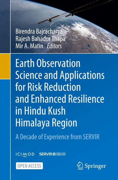
Earth Observation Science and Applications for Risk Reduction and Enhanced Resilience in Hindu Kush Himalaya Region
A Decade of Experience from SERVIR
Herausgegeben: Bajracharya, Birendra; Thapa, Rajesh Bahadur; Matin, Mir A.
Versandkostenfrei!
Versandfertig in 1-2 Wochen
39,99 €
inkl. MwSt.

PAYBACK Punkte
20 °P sammeln!
This open access book is a consolidation of lessons learnt and experiences gathered from our efforts to utilise Earth observation (EO) science and applications to address environmental challenges in the Hindu Kush Himalayan region. It includes a complete package of knowledge on service life cycles including multi-disciplinary topics and practically tested applications for the HKH. It comprises 19 chapters drawing from a decade's worth of experience gleaned over the course of our implementation of SERVIR-HKH - a joint initiative of NASA, USAID, and ICIMOD - to build capacity on using EO and geo...
This open access book is a consolidation of lessons learnt and experiences gathered from our efforts to utilise Earth observation (EO) science and applications to address environmental challenges in the Hindu Kush Himalayan region. It includes a complete package of knowledge on service life cycles including multi-disciplinary topics and practically tested applications for the HKH. It comprises 19 chapters drawing from a decade's worth of experience gleaned over the course of our implementation of SERVIR-HKH - a joint initiative of NASA, USAID, and ICIMOD - to build capacity on using EO and geospatial technology for effective decision making in the region.
The book highlights SERVIR's approaches to the design and delivery of information services - in agriculture and food security; land cover and land use change, and ecosystems; water resources and hydro-climatic disasters; and weather and climate services. It also touches upon multidisciplinary topics such as service planning; gender integration; user engagement; capacity building; communication; and monitoring, evaluation, and learning.
We hope that this book will be a good reference document for professionals and practitioners working in remote sensing, geographic information systems, regional and spatial sciences, climate change, ecosystems, and environmental analysis. Furthermore, we are hopeful that policymakers, academics, and other informed audiences working in sustainable development and evaluation - beyond the wider SERVIR network and well as within it - will greatly benefit from what we share here on our applications, case studies, and documentation across cross-cutting topics.


