David Burch
Emergency Navigation
20,99 €
inkl. MwSt.
Versandfertig in 2-4 Wochen
David Burch
Emergency Navigation
- Broschiertes Buch
- Merkliste
- Auf die Merkliste
- Bewerten Bewerten
- Teilen
- Produkt teilen
- Produkterinnerung
- Produkterinnerung
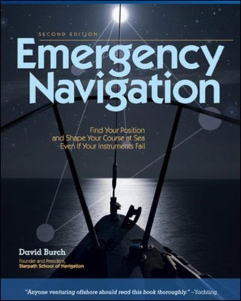
Shows you how to find your way on the water - even if your navigation equipment is damaged or lost - using ancient and modern skills or rudimentary materials like a stick, a piece of string or a pair of sunglasses. This guide includes navigation methods, graphics and lists. It offers a useful backup for every ocean mariner.
Andere Kunden interessierten sich auch für
- Jack LaganThe Barefoot Navigator25,99 €
- Duncan WellsStress-Free Navigation25,99 €
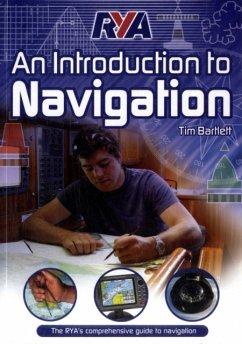
- Melanie BartlettRYA - An Introduction to Navigation20,99 €
- Kendall CarterReeds Astro Navigation Tables 202440,99 €
- Melanie BartlettRYA VHF Handbook21,99 €
- Chris SladeRYA Navigation Exercises28,99 €
- Bill JohnsonReeds Crew Handbook15,99 €
-
-
-
Shows you how to find your way on the water - even if your navigation equipment is damaged or lost - using ancient and modern skills or rudimentary materials like a stick, a piece of string or a pair of sunglasses. This guide includes navigation methods, graphics and lists. It offers a useful backup for every ocean mariner.
Hinweis: Dieser Artikel kann nur an eine deutsche Lieferadresse ausgeliefert werden.
Produktdetails
- Produktdetails
- Verlag: International Marine Publishing Co
- 2 ed
- Seitenzahl: 288
- Erscheinungstermin: 16. Oktober 2008
- Englisch
- Abmessung: 235mm x 187mm x 18mm
- Gewicht: 610g
- ISBN-13: 9780071481847
- ISBN-10: 0071481842
- Artikelnr.: 23154978
- Verlag: International Marine Publishing Co
- 2 ed
- Seitenzahl: 288
- Erscheinungstermin: 16. Oktober 2008
- Englisch
- Abmessung: 235mm x 187mm x 18mm
- Gewicht: 610g
- ISBN-13: 9780071481847
- ISBN-10: 0071481842
- Artikelnr.: 23154978
David Burch, the director of the Starpath School of Navigation in Seattle, Washington, has been teaching navigation and seamanship since 1977. He has logged more than 60,000 sea miles, including three wins in the trans-Pacific Victoria to Maui yacht race. He is the author of nine books on marine navigation, including Emergency Navigation (International Marine, 1984), and his magazine articles have appeared in Cruising World, Ocean Navigator, Sailing, and Sea Kayaker. He holds a U.S. Coast Guard Master's license (100 tons). He is also a past Fulbright Scholar and holds a PhD in physics. HOMETOWN: Seattle, WA
List of Figures and Tables
Foreword to the First Edition
Preface to the Second Edition
Acknowledgments
Chapter 1. Introduction
What Is Emergency Navigation?
The Scope of This Book
Preparation for Navigational Emergencies
Chapter 2. Time and Place at Sea
Latitude Regions and Seasons Defined
Time in Navigation
Finding Position versus Keeping Track of Position
Chapter 3. Directions at Sea
Choosing a Route
Compass Checks
Steering without a Compass
Chapter 4. Steering by Wind and Swells
Reading the Wind
Swells, Waves, and Ripples
Wind Shifts
Chapter 5. Steering by the Stars
Know the Whole Sky
How the Stars Move
Steering by the North Star
The Summer Triangle
The Great Square of Pegasus
Finding North without the North Star
Steering by Orion
Steering by Gemini and Procyon
Steering by Scorpio
Steering by the Southern Cross and the South Pole
Steering by Overhead Stars
Steering by Zenith Stars
Star Paths
Timing Low Stars
Chapter 6. Steering by the Sun
Sunrise and Sunset
Morning Sun and Afternoon Sun
Local Apparent Noon
Solar Time Method
The Shadow-Tip Method
The Tropics Rule for the Sun
Sun Crossing Due East or West
Sun Compasses
When the Sun Is Obscured
Chapter 7. Steering by Other Things in the Sky
The Moon
The Planets
Clouds, Birds, and Planes
Satellites
Chapter 8. Steering in Fog or Under Cloudy Skies
How to Make a Magnetic Compass
Direction Finding with a Portable Radio
Streaming a Line along the Centerline
Finding the Sun as a Viking Would
Chapter 9. Currents
Ocean Currents
Tidal Currents
Wind-Driven Currents
Coastal Currents
Chapter 10. Dead Reckoning
Emergency DR
Finding Boat Speed
DR Errors from Speed and Direction
DR Errors from Current and Leeway
Progress to Weather
Chapter 11. Latitude at Sea
Makeshift Altitude Measurements and Calibrations
Makeshift Altitude Corrections
Latitude from Polaris
Latitude from Zenith Stars
Latitude from Horizon-Grazing Stars
Latitude from Double Transits of Circumpolar Stars
Latitude from the Sun at LAN
Latitude from the Length of Day
Keeping Track of Latitude
Chapter 12. Longitude at Sea
Longitude from Sunrise or Sunset
Longitude from LAN (the Equation of Time)
Finding UTC from a Known Position
Keeping Track of Longitude
Chapter 13. Coastal Piloting without Instruments
Signs of Land at Sea
Visible Range of Lights and Land
Distance Off
Running Fix from Radio Bearings
Course Made Good in Current
Chapter 14. What to Do with What You've Got
Routine Navigation with Everything
Position by Radio Contact
Everything but UTC
Everything but a Sextant
Everything but Sight Reduction Tables
Everything but a Compass
Everything but an Almanac
Nothing but UTC
Annotated Bibliography
Basic Marine Navigation
Almanac Data
Stars and Star Identification
Finding Longitude without Time
No-Instrument Navigation
Emergency Seamanship
Periodicals of Interest to Emergency Navigation
Meteorology and Oceanography
Published Aids to Navigation
Index