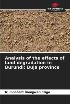
Erosion and infiltration in different land uses
Versandkostenfrei!
Versandfertig in 6-10 Tagen
43,99 €
inkl. MwSt.

PAYBACK Punkte
22 °P sammeln!
The High Atlas of Marrakech is a geographical area made up of the N'Fis, Gheraya, Ourika, Zat and Ghdat catchment areas. These catchment areas are located on the northern flank of the High Atlas mountain range. They are therefore exposed to disturbed oceanic flows from the north and north-west. These flows follow the slopes and condense easily on the high relief of the basins. The latter are also characterised by low permeability bedrock, high slopes and a well-branched hydrographic network. These morphological and climatic conditions favour high rainfall and violent floods. This work is devot...
The High Atlas of Marrakech is a geographical area made up of the N'Fis, Gheraya, Ourika, Zat and Ghdat catchment areas. These catchment areas are located on the northern flank of the High Atlas mountain range. They are therefore exposed to disturbed oceanic flows from the north and north-west. These flows follow the slopes and condense easily on the high relief of the basins. The latter are also characterised by low permeability bedrock, high slopes and a well-branched hydrographic network. These morphological and climatic conditions favour high rainfall and violent floods. This work is devoted to the GIREPSE project to develop efficient and equitable responses to minimise climate risks, improve the hydro-ecological system and enhance the value of environmental goods and services. Rainfall simulation tests were carried out in the Oualmas catchment using the simulation method of Roose, 1996.


