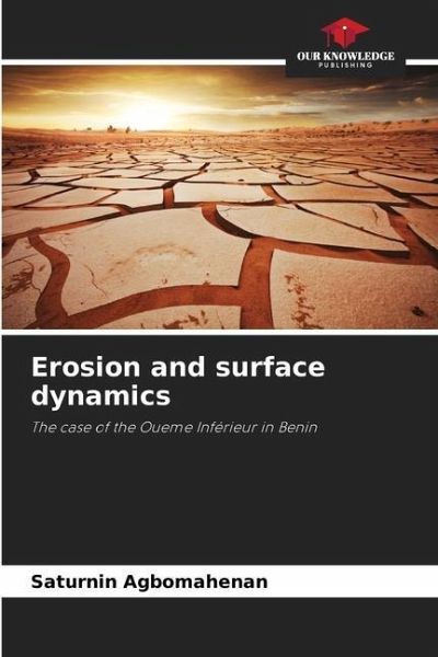
Erosion and surface dynamics
The case of the Oueme Inférieur in Benin
Versandkostenfrei!
Versandfertig in 6-10 Tagen
66,99 €
inkl. MwSt.

PAYBACK Punkte
33 °P sammeln!
The lower Ouémé valley is exposed to rain erosion due to the physical structure of the soils and the disappearance of natural vegetation cover as a result of high population density. This thesis aims to deepen our knowledge of the influence of land use and occupation dynamics on the manifestations of rain erosion. Monthly rainfall data from 1965 to 2014 facilitated the determination of the rainfall aggressiveness index in the lower Ouémé valley. Surfer 11.0 software was used to map rainfall aggressivity in the study area. Geometric and morphometric parameters of the lower Ouémé valley we...
The lower Ouémé valley is exposed to rain erosion due to the physical structure of the soils and the disappearance of natural vegetation cover as a result of high population density. This thesis aims to deepen our knowledge of the influence of land use and occupation dynamics on the manifestations of rain erosion. Monthly rainfall data from 1965 to 2014 facilitated the determination of the rainfall aggressiveness index in the lower Ouémé valley. Surfer 11.0 software was used to map rainfall aggressivity in the study area. Geometric and morphometric parameters of the lower Ouémé valley were calculated to assess the erodibility of the land, and particle transits were evaluated using erosion stakes and sediment traps. New strategies adapted to the morphological characteristics of the lower Ouémé valley are proposed.


