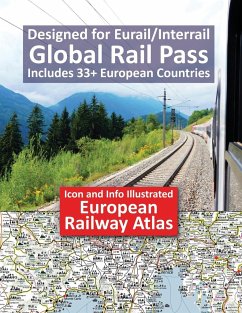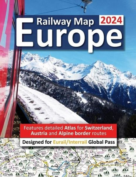
Europe Railway Map 2024 - Features Detailed Atlas for Switzerland and Austria - Designed for Eurail/Interrail Global Pass
Versandkostenfrei!
Versandfertig in 1-2 Wochen
21,99 €
inkl. MwSt.

PAYBACK Punkte
11 °P sammeln!
Railway Map Europe 2024 Edition is an illustrated Railway Atlas and features super detailed Atlas spreads for the whole of Switzerland, Austria and Alpine border routes and has been specifically designed for Eurail and Interrail Global Rail Pass. The simplified Railway Network Map includes Icons, Info and photographs to enable you to make the very most of your time in Europe and get very most benefit from your RailPass. Atlas covers all 33 European counties included in Eurail/Interrail Global Rail Pass plus Moldova, Albania and North African and all the major Mediterranean, Scandinavian, Irish...
Railway Map Europe 2024 Edition is an illustrated Railway Atlas and features super detailed Atlas spreads for the whole of Switzerland, Austria and Alpine border routes and has been specifically designed for Eurail and Interrail Global Rail Pass. The simplified Railway Network Map includes Icons, Info and photographs to enable you to make the very most of your time in Europe and get very most benefit from your RailPass. Atlas covers all 33 European counties included in Eurail/Interrail Global Rail Pass plus Moldova, Albania and North African and all the major Mediterranean, Scandinavian, Irish and UK ferry routes. Planning an epic Eurail/Interrail adventure is always a difficult choice and compromise with an infinite number of possible routes and fabulous locations to visit and explore. InfoRailMap Atlas spreads highlights all major UNESCO listed sites, Roman artefacts including Amphitheatre, Castles, Palaces, Hill-top Citadels/fortifications, Aqueducts/bridges, spiritual buildings including Cathedrals, Mosques, Monasteries and Abbeys, Museums/art galleries, impressive large Statues and attractive Old World Medieval towns, National Parks and protected landscapes so you know instantly where to focus your time and which routes best suit your interests. There is an HUGE amount information contained within the Infographic and it is completely JAMMED PACKED with awesome locations, tips, highlighted scenic routes, Islands, ferry route info, physical size of major mountains and, for some, this may be a problem if you want something very basic to understand in an instant! We love creating and continually improving this InfoGraphic/Atlas/planning tool and we really want you to be 100% super happy with your purchase and do not want you to be disappointed .. so please read the following so you know EXACTLY what you can expect: - All main railway lines. - Routes which require additional seat reservations and supplements (orange highlights). Eg TGV and Eurostar. - Easy identification of the most awesome scenic routes (green highlights). - Branded Swiss scenic routes are identified with special-coloured highlights - All the most popular tourist destination, Capital Cities and major towns on the entire network are highlights in large bold print. - Ski resorts and popular summer hiking destinations. - Ports and popular ferry routes including info on many of the massive RailPass holder discounts for example travelling between Sweden and Finland or between the UK and Ireland. - Clear identification of major National Parks and areas of outstanding beauty. - Airports (with red highlighted airport codes). - Sandy beaches and stunning coastlines. - Mountain ranges including height in meters - A-Z grid/page index for easy identification of all major tourist locations and acts a go-to list of all major must-visit tourist destinations. - European currency guide p29. - Handy back page Atlas Icon Legend and European Map with country names including Atlas page numbers. - Glossy and durable laminated cover and easy to fold/pack A4 Letter format. - Accompanying websites: www.InfoRailMap.com Interrail/Eurail Icon Illustrated Railway Atlas has been specifically designed as easy and quick reference with clear indication of all major stops and top notch tourist destinations to include in your plans for the entire European Railway Network (Global RailPass) in an easy to pack away format with full colour A4 durable quality paper plus long lasting laminated glossy cover. The large A4 letter paperback format includes duplications to enable super easy route planning.


