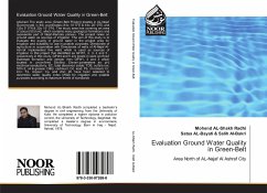
Abstract The study area (Green-Belt Project) locates in AL-Najaf Governorate in the coordinates (44o 10' 0"E & 44o 20' 0"E) and (32o 5' 0"N & 32o 15' 0"N). The study area has covering an area of about (90) km2, which contains many geological formations and represents part of Najaf-Karbala plateau. The project relies on ground water as sources of irrigation. The aim of this study is to evaluate the quality of ground water in the project area for irrigation and suitability to use in potable purposes. Directorate of agriculture in cooperation with Directorate of wells of Al-Najaf Al-Ashraf implemented five wells which is used as sources of irrigation in this project that identified as GFW1, 2, 3, 4 and 5 , respectively in this study. GFW4 and 5 are locate in semi confined Dammam formation and deeper then GFW1, 2 and 3 which located in unconfined Dibdiba. Eleven parameters as: pH, electrical conductivity; EC, total dissolved solids; TDS, sulfate ion; SO4-2, oil & grease; O&G, cadmium; Cd, lead; Pb, chromium; Cr, iron; Fe, copper; Cu, and zinc; Zn have been selected to determine water quality index (WQI) for irrigation and potable purposes according to maximum levels of standards
Bitte wählen Sie Ihr Anliegen aus.
Rechnungen
Retourenschein anfordern
Bestellstatus
Storno

