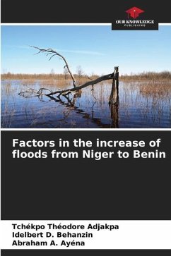
During the decade 2006-2016, floods recorded in West Africa have increased in a context of decreasing rainfall. The present study aims to analyze the factors of the increase in floods in the Niger River basin in Benin, more precisely in the Communes of Malanville and Karimama. It was carried out using the Accelerated Participatory Research Method (APRM). The qualitative and quantitative data collected over the period 1954-2013 were processed using Excel and Arc-GIS 10.3 software. The results obtained indicate that several natural and anthropogenic factors aggravate flooding in the Niger River basin in Benin. They are related to the proximity of the two Communes to the main course of the river, silting, degradation of the vegetation cover, anarchic occupation of the river banks and intensification of agricultural activities in the flood plains.
Bitte wählen Sie Ihr Anliegen aus.
Rechnungen
Retourenschein anfordern
Bestellstatus
Storno

