
Beschreibung
Produktdetails
Einband
Taschenbuch
Erscheinungsdatum
05.07.2024
Verlag
TreditionSeitenzahl
88
Maße (L/B/H)
23,4/15,5/0,7 cm
Gewicht
164 g
Sprache
Englisch
ISBN
978-3-384-28043-5
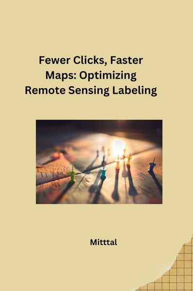
Remote sensing, using satellites and aircraft to gather Earth data, is crucial for tasks like disaster response, monitoring deforestation, and tracking crop health. However, analyzing this data often requires labeling – identifying features like buildings, forests, or flooded areas – which can be a tedious, time-consuming process.
This title highlights the importance of streamlining this process. "Fewer clicks" refers to developing techniques that reduce the number of clicks or actions needed to label each feature. This could involve automating repetitive tasks or using machine learning algorithms to assist with labeling.
"Faster maps" emphasizes the ultimate goal – generating accurate and detailed maps more quickly. By optimizing labeling, scientists and analysts can spend less time on repetitive tasks and more time extracting valuable insights from remote sensing data. This leads to faster decision-making and a more efficient response to various challenges.
Kundinnen und Kunden meinen
Verfassen Sie die erste Bewertung zu diesem Artikel
Helfen Sie anderen Kund*innen durch Ihre Meinung
Kurze Frage zu unserer Seite
Vielen Dank für dein Feedback
Wir nutzen dein Feedback, um unsere Produktseiten zu verbessern. Bitte habe Verständnis, dass wir dir keine Rückmeldung geben können. Falls du Kontakt mit uns aufnehmen möchtest, kannst du dich aber gerne an unseren Kund*innenservice wenden.
zum Kundenservice