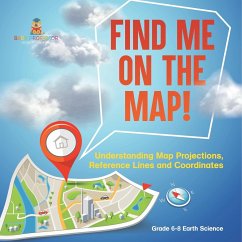
This book is an indispensable resource for teachers looking to introduce the complex topics of map projections, reference lines, and coordinates to middle school students. From ancient theories about the Earth's shape to the intricacies of modern GPS technology, it covers essential concepts in understanding how our planet is represented on maps. Students will learn about the significance of longitude and latitude, different types of map projections, and the role of technology in mapping today. Engage your class with practical experiments to bring these geographical concepts to life. Perfect for enriching your earth science curriculum, encourage your students to navigate the world of maps confidently.
Hinweis: Dieser Artikel kann nur an eine deutsche Lieferadresse ausgeliefert werden.
Hinweis: Dieser Artikel kann nur an eine deutsche Lieferadresse ausgeliefert werden.

