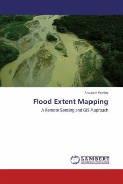
Flood Damage Assessment
A Remote Sensing and GIS Approach
Versandkostenfrei!
Versandfertig in 6-10 Tagen
45,99 €
inkl. MwSt.

PAYBACK Punkte
23 °P sammeln!
The damage caused by floods in term of loss of life, property and economic loss due to disruption of economic activity are all too well known. Estimation of economic flood damage is gaining greater importance as flood risk management is becoming important throughout South Asia. Damage assessments due to floods supply crucial information to decision support and policy development in the fields of flood management. Despite the fact that considerable research effort have been carried out and progress has been made on damage data collection, data analysis in recent years, there still seems to be a...
The damage caused by floods in term of loss of life, property and economic loss due to disruption of economic activity are all too well known. Estimation of economic flood damage is gaining greater importance as flood risk management is becoming important throughout South Asia. Damage assessments due to floods supply crucial information to decision support and policy development in the fields of flood management. Despite the fact that considerable research effort have been carried out and progress has been made on damage data collection, data analysis in recent years, there still seems to be a mismatch between the relevance of damage assessments and the quality of the available datasets and estimates. Application of Remote Sensing and GIS need to be integrated with empirical data collected from field for providing consistent, reliable data to scientists and administrators.


