Flood risk mapping in the town of Fombap-Cameroon
Versandkostenfrei!
Versandfertig in 6-10 Tagen
27,99 €
inkl. MwSt.

PAYBACK Punkte
14 °P sammeln!
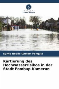
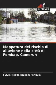
The town of Fombap is part of the Mbo plain. It lies between 5°18' and 5°20'15'' north latitude and 9°58'30'' and 10°01'30'' east longitude. This study, carried out in Fombap, analysed the factors responsible for flooding in the area, with the aim of drawing up a map of areas at risk of flooding. The results of this work showed that the natural conditions of this environment, coupled with human activity, are very favourable to the flooding process. From a geomorphological point of view, the Fombap locality consists mainly of flat land with slopes varying from slight (0 to 5°) to steep (26...
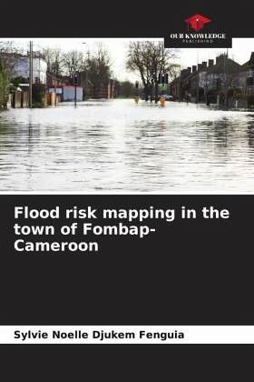
The town of Fombap is part of the Mbo plain. It lies between 5°18' and 5°20'15'' north latitude and 9°58'30'' and 10°01'30'' east longitude. This study, carried out in Fombap, analysed the factors responsible for flooding in the area, with the aim of drawing up a map of areas at risk of flooding. The results of this work showed that the natural conditions of this environment, coupled with human activity, are very favourable to the flooding process. From a geomorphological point of view, the Fombap locality consists mainly of flat land with slopes varying from slight (0 to 5°) to steep (26 to 37°). Geotechnically, the soil texture is dominated by sand (13 to 61%) and clay (27 to 41%). Thus, sandy soils encourage a rapid rise in the water table, while very clayey soils make them impermeable, resulting in intense run-off. In hydrological terms, rainfall is high (2413mm) and falls very suddenly over very long periods (March to October).


