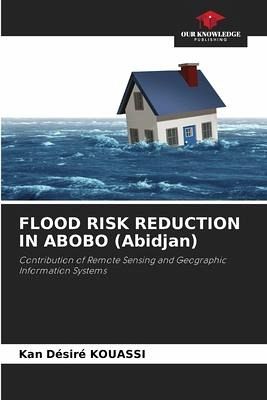
FLOOD RISK REDUCTION IN ABOBO (Abidjan)
Contribution of Remote Sensing and Geographic Information Systems
Versandkostenfrei!
Versandfertig in 6-10 Tagen
53,99 €
inkl. MwSt.

PAYBACK Punkte
27 °P sammeln!
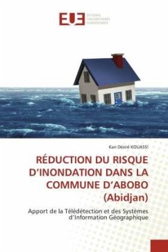
This study mainly developed a mapping method and assessed the risk of flooding in urban areas, adapted to the context of anarchic urbanization and poorly controlled sanitation in the municipality of Abobo (Abidjan, Côte d'Ivoire). It was broken down into three specific objectives: First, the identification of hazard and vulnerability factors at the origin of flooding; Second, the mapping of flood risk areas, based on Saaty's AHP Multicriteria Analysis; Third, the modeling of the rainfall runoff system, at the scale of the Sagbé-Anonkoi Kouté watershed, in order to establish a projection of ...
This study mainly developed a mapping method and assessed the risk of flooding in urban areas, adapted to the context of anarchic urbanization and poorly controlled sanitation in the municipality of Abobo (Abidjan, Côte d'Ivoire). It was broken down into three specific objectives: First, the identification of hazard and vulnerability factors at the origin of flooding; Second, the mapping of flood risk areas, based on Saaty's AHP Multicriteria Analysis; Third, the modeling of the rainfall runoff system, at the scale of the Sagbé-Anonkoi Kouté watershed, in order to establish a projection of flooding over the periods of 5, 25, 50, and 100 years, with a view to assisting decision-makers in considering anticipatory decisions.


