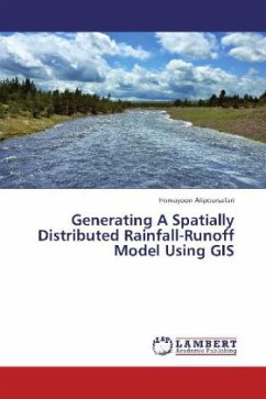
Generating A Spatially Distributed Rainfall-Runoff Model Using GIS
Versandkostenfrei!
Versandfertig in 6-10 Tagen
39,99 €
inkl. MwSt.

PAYBACK Punkte
20 °P sammeln!
A spatially distributed rainfall runoff model is developed with the aid of a raster GIS and minimal amount of field data that could predict the outlet hydrograph of an ungauged basin. The Basin is divided into several subareas and for each subarea a physically based advection-dispersion equation, also called diffusion wave, is used to represent the subarea response function to instantaneous excess rainfalls. The model is applied to a 173.9 km2 mountainous watershed and the calculated hydrographs are compared with the observed events and results of SCS unit hydrograph method.


