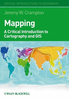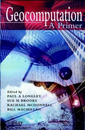
Geokalkulation geht über GIS (Geographische Informationssysteme) hinaus und umfaßt verschiedene Bereiche des Modelling, der Simulation und des Datenaufbaus im räumlichen Kontext. Verfaßt von führenden Experten, deckt dieses Buch eine Vielzahl der wichtigsten Themen auf diesem Gebiet ab. Besprochen werden u.a. High Performance Computer Systeme, Visualisierung und Modelling. Mit Auszügen aus programmatischen Reden der 3. Internationalen Konferenz für Geokalkulation wird eine Diskussionsgrundlage geschaffen für neue computergestützte Mittel und Techniken und ihre Anwendungen in räumlicher Kalkulation. (09/98)…mehr
Geokalkulation geht über GIS (Geographische Informationssysteme) hinaus und umfaßt verschiedene Bereiche des Modelling, der Simulation und des Datenaufbaus im räumlichen Kontext. Verfaßt von führenden Experten, deckt dieses Buch eine Vielzahl der wichtigsten Themen auf diesem Gebiet ab. Besprochen werden u.a. High Performance Computer Systeme, Visualisierung und Modelling. Mit Auszügen aus programmatischen Reden der 3. Internationalen Konferenz für Geokalkulation wird eine Diskussionsgrundlage geschaffen für neue computergestützte Mittel und Techniken und ihre Anwendungen in räumlicher Kalkulation. (09/98)Hinweis: Dieser Artikel kann nur an eine deutsche Lieferadresse ausgeliefert werden.
Paul Longley is a professor with the Department of Geography at the University College London, UK. Sue M. Brooks is a Reader in Environmental Systems Analytics at Birbeck, University of London. She has also lectured at the University of Oxford and the University of Bristol. Rachael McDonnell is a lecturer in the School of Geography, Oxford University. Bill MacMillan is the editor of Geocomputation: A Primer, published by Wiley.
Inhaltsangabe
ON GEOCOMPUTATION. Foundations (P. Longley). Geocomputation in Context (H. Couclelis). ON DATA AND DOCUMENTATION. Remote Sensing: From Data to Understanding (P. Curran, et al.). Different Data Sources and Diverse Data Structures: Metadata and Other Solutions (M. Goodchild). DIAGNOSTICS AN PATTERN DETECTION. Exploratory Spatial Data Analysis in a Geocomputational Environment (L. Anselin). Building Automated Geographical Analysis and Explanation Machines (S. Openshaw). REAL AND VIRTUAL ENVIRONMENTS. Visualising Different Geofutures (K. Clarke). Modelling Virtual Environments (M. Batty, et al.). SPACE-TIME DYNAMICS. Dynamic Modelling and Geocomputation (P. Burrough). On the Status and Opportunities for Physical Process Modelling in Geomorphology (S. Brooks & M. Anderson). On Complex Geographical Space: Computing Frameworks for Spatial Diffusion Processes (A. Cliff & P. Haggett). Epilogue (B. Macmillan). Indexes.
Es gelten unsere Allgemeinen Geschäftsbedingungen: www.buecher.de/agb
Impressum
www.buecher.de ist ein Internetauftritt der buecher.de internetstores GmbH
Geschäftsführung: Monica Sawhney | Roland Kölbl | Günter Hilger
Sitz der Gesellschaft: Batheyer Straße 115 - 117, 58099 Hagen
Postanschrift: Bürgermeister-Wegele-Str. 12, 86167 Augsburg
Amtsgericht Hagen HRB 13257
Steuernummer: 321/5800/1497
USt-IdNr: DE450055826