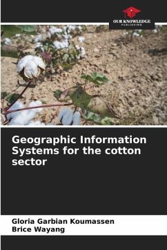
Geographic information system for a development project
Development of a geoportal to improve information dissemination, case of the AgriFARM project, Guinea
Versandkostenfrei!
Versandfertig in 6-10 Tagen
45,99 €
inkl. MwSt.

PAYBACK Punkte
23 °P sammeln!
The Agriculture FAmiliale Résilience et Marchés (AgriFARM) project is a Guinean government project, financed jointly by IFAD, OFID and BADEA. It has a Geographic Information System (GIS) integrated with the Monitoring & Evaluation System.As part of the project's admissibility and visibility, AgriFARM aims to disseminate information based on the spatial dimension and the Internet for access by the general public. Hence the choice of the theme "Developing a geoportal to improve information dissemination". To achieve this, field and laboratory work is carried out on data acquisition, processing...
The Agriculture FAmiliale Résilience et Marchés (AgriFARM) project is a Guinean government project, financed jointly by IFAD, OFID and BADEA. It has a Geographic Information System (GIS) integrated with the Monitoring & Evaluation System.As part of the project's admissibility and visibility, AgriFARM aims to disseminate information based on the spatial dimension and the Internet for access by the general public. Hence the choice of the theme "Developing a geoportal to improve information dissemination". To achieve this, field and laboratory work is carried out on data acquisition, processing, integration into a GIS database for mapping and publication. A web platform is then developed on the basis of a set of specifications drawn up in line with user expectations.Eventually, the complete project planning is mapped and integrated into a GIS database. Relevant information is selected for distribution. The geoportal is designed on the basis of classic interactive cartography functionalities.


