154,99 €
inkl. MwSt.
Versandkostenfrei*
Versandfertig in über 4 Wochen
payback
77 °P sammeln
  • Gebundenes Buch

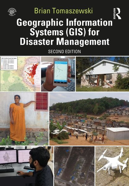
Now in its second edition, Geographic Information Systems (GIS) for Disaster Management has been completely updated to take account of new developments in the field while continuing the tradition of the benchmark first edition.

Produktbeschreibung
Now in its second edition, Geographic Information Systems (GIS) for Disaster Management has been completely updated to take account of new developments in the field while continuing the tradition of the benchmark first edition.
Autorenporträt
Brian Tomaszewski is an associate professor and director of the Center for Geographic Information Science and Technology at the Rochester Institute of Technology in Rochester, NY, USA, and an adjunct professor with the Centre for Disaster Management and Mitigation at the Vellore Institute of Technology, India. His research interests are in the domains of geographic information science and technology, geographic visualization, spatial thinking, disaster management, and forced displacement. His published research has appeared in top scientific journals such as Information Visualization, Computers, Environment and Urban Systems, Computers and Geosciences, and The Cartographic Journal. He is the co-creator of the Refugee GIS (RefuGIS) project that is the world's first innovation project to empower refugees themselves to use GIS. Tomaszewski is actively involved in international disaster management and refugee affairs research with research projects funded by the US National Science Foundation (NSF) in Rwanda, Germany, and Jordan as well as collaborations with the United Nations High Commissioner for Refugees (UNHCR) in Rwanda and Jordan.