Geographic Information Systems, Spatial Modelling and Policy Evaluation
-
- Englisch ausgewählt
49,99 €
inkl. gesetzl. MwSt.,
Lieferung nach Hause
Beschreibung
Produktdetails
Einband
Taschenbuch
Erscheinungsdatum
08.12.2011
Herausgeber
Manfred M. Fischer + weitereVerlag
Springer BerlinSeitenzahl
280
Maße (L/B/H)
24,2/17/1,7 cm
Gewicht
511 g
Auflage
Softcover reprint of the original 1st ed. 1993
Sprache
Englisch
ISBN
978-3-642-77502-4
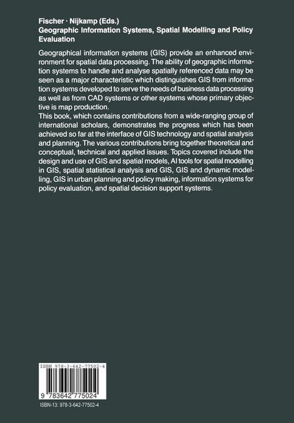
Geographical Information Systems (GIS) provide an enhanced environment for spatial data processing. The ability of geographic information systems to handle and analyse spatially referenced data may be seen as a major characteristic which distinguishes GIS from information systems developed to serve the needs of business data processing as well as from CAD systems or other systems whose primary objective is map production. This book, which contains contributions from a wide-ranging group of international scholars, demonstrates the progress which has been achieved so far at the interface of GIS technology and spatial analysis and planning. The various contributions bring together theoretical and conceptual, technical and applied issues. Topics covered include the design and use of GIS and spatial models, AI tools for spatial modelling in GIS, spatial statistical analysis and GIS, GIS and dynamic modelling, GIS in urban planning and policy making, information systems for policy evaluation, and spatial decision support systems.
Kundinnen und Kunden meinen
Verfassen Sie die erste Bewertung zu diesem Artikel
Helfen Sie anderen Kund*innen durch Ihre Meinung
Kurze Frage zu unserer Seite
Vielen Dank für dein Feedback
Wir nutzen dein Feedback, um unsere Produktseiten zu verbessern. Bitte habe Verständnis, dass wir dir keine Rückmeldung geben können. Falls du Kontakt mit uns aufnehmen möchtest, kannst du dich aber gerne an unseren Kund*innenservice wenden.
zum Kundenservice