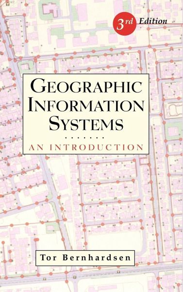
Geographic Information Systems
An Introduction
Versandkostenfrei!
Versandfertig in über 4 Wochen
125,99 €
inkl. MwSt.

PAYBACK Punkte
63 °P sammeln!
Die Entwicklung von Geographischen Informationssystemen (GIS) mit immer größerer Leistungsfähigkeit führte zu einer großen Zahl praktischer Anwendungsmöglichkeiten und einer steigenden Nachfrage nach GIS-Experten. Dieses Buch schließt die Lücke zwischen begrifflicher Präsentation der Grundlagen und ausgefeilteren computerwissenschaftlich orientierten Ansätzen. Ein fortgeschrittenes Lehrbuch, das sich zur Erläuterung der Konzepte verstärkt auf die zahlreichen, sehr klaren Originalabbildungen stützt. Die Neuauflage wurde umfassend aktualisiert, um den Veränderungen seit Erscheinen der Erstausgabe Rechnung zu tragen, und um mehr als 200 Seiten und sieben neue Kapitel erweitert.
"If we are to solve many of the problems facing us-in the cities, in the wild areas of the earth, in the atmosphere, and the oceans-we shall need the help of skilled users of GIS technology. If readers can master what is in this volume, they will be well started on this enterprise."
-From the Foreword by Jack Dangermond
President of ESRI
Praise for previous editions:
"One of only a small number of texts devoted to the technology of GIS that are truly introductory in nature. . . . Very readable and of moderate length. Those who are real novices to GIS will find this one attractive."
-Computers and Geosciences
"Well-rendered and very clear line drawings . . . well written, with a well-balanced blend of technical/theoretical concepts and more applied facts of GIS."
-Professional Geographer
Geographic Information Systems provides a practical, theory-driven overview of GIS that is supported with clear coverage of basic techniques. This treatment enables readersto understand the broad aspects of GIS without focusing on a specific software or discipline, such as engineering or geography. New features of this Third Edition include: up-to-date information on standardization efforts aimed at facilitating the exchange of ideas and data; technical content that is up to date with current hardware, software, database design, and analytical techniques; and comprehensive cost/benefit guidelines for choosing and evaluating a GIS, including coverage of organizational and technical issues.
Complete with extensive references and links to online resources, Geographic Information Systems, Third Edition, is an exceptional resource for students of GIS, planning, land use, natural resources, civil and environmental engineering, real estate, and wildlife biology.


