29,99 €
inkl. MwSt.
Versandkostenfrei*
Versandfertig in 6-10 Tagen
payback
15 °P sammeln
  • Broschiertes Buch

In recent years we have seen a growing interest in geographic information, which is increasingly used for various purposes and application domains in areas as distinct as: geosciences, economics and management, sociology and health, engineering, planning and spatial monitoring, among others. A Geographic Information System (GIS) consists of a set of computational tools for geoprocessing, which allows the manipulation and integration of data from various sources, and the creation of a digital database with georeferenced information. It can be seen as: a system of hardware, software, and…mehr

Produktbeschreibung
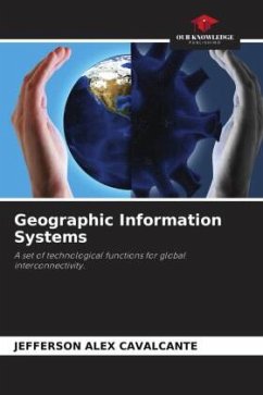
In recent years we have seen a growing interest in geographic information, which is increasingly used for various purposes and application domains in areas as distinct as: geosciences, economics and management, sociology and health, engineering, planning and spatial monitoring, among others. A Geographic Information System (GIS) consists of a set of computational tools for geoprocessing, which allows the manipulation and integration of data from various sources, and the creation of a digital database with georeferenced information. It can be seen as: a system of hardware, software, and procedures designed to support, capture, manage, manipulate, analyze, model, and query spatially referenced data; to solve planning and management problems.
Autorenporträt
Agrartechniker; Agronom; Spezialist für integrierte Landwirtschaft im Amazonasgebiet; Spezialist für integrierten Pflanzenschutz und agronomische Verordnungen; MBA in Unternehmertum, Marketing und Finanzen; Master in Pflanzenbiologie; und Doktor in Umweltmanagement. Studieren, lernen und üben gibt eine Zukunft.