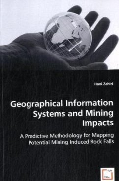
The ability to assess the potential mine subsidence impact undoubtedly can be valuable for subsidence management plans and any decision-making process carried out prior to mining. The book describes a quantitative spatial methodology for the mapping of potential mine subsidence impacts on cliff-lines using a Geographical Information System (GIS). The approach is developed using a GIS-based weight-of-evidence methodology with the following characteristics:1)A data driven technique for impact assessment during the preliminary stages of mine design when the field data is limited;2)Identification of pertinent controlling factors in rockfall occurrence phenomena;3)The analysis of the level of influence for each controlling factor, weighting and combining evidential factors using the weight-of-evidence method;4)The mapping of the probability of a rockfall occurrence within the area of interest.Application of the methodology was tested for a case study in Australia where the methodologywas used to evaluate and compare impact of two different proposed mine layouts on the present cliff lines within the mining area.
Bitte wählen Sie Ihr Anliegen aus.
Rechnungen
Retourenschein anfordern
Bestellstatus
Storno

