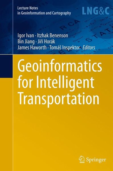
The aim of the book is to present and discuss new methods, issues and challenges involved in geoinformatics' contribution to making transportation more intelligent, efficient and human-friendly. It covers a wide range of topics related to transportation and geoinformatics. The themes are divided into four main sections: Transport modeling, Sensor data and services, Intelligent transport systems, and Transport planning and accessibility.
Investigation of Sonar Stabilisation Method for Improved Seafloor Image Quality.- Global Land Cover Classification Based on Microwave Polarization and Gradient Ratio (MPGR).- Optimal Path Problem With Possibilistic Weights.- Optimal Placement of the Bike Rental Stations and Their Capacities in Olomouc.- Detecting Spatial and Temporal Route Information of GPS Traces.- Impact of Particular Indicators of Urban Development of Cities in the Czech Republic on Average Road Traffic Intensity.- Time of Day Dependency of Public Transport Accessibility in the Czech Republic.- Automatic Generation of 3D Building Models from Point Clouds.- Towards a Solution for the Public Web-Based GIS Monitoring and Alerting System.- Demand and Supply of Transport Connections for Commuting in the Czech Republic.- Train Platforming Problem.- Examples of the Implementation of Fuzzy Models in Tourism in the South Moravian Region.- Photovoltaics as an Element of Intelligent Transport System Development.- Urban Heartbeats (Daily Cycle of Public Transport Intensity).- Improving Geolocation by Combining Gps with Image Analysis.- The Impact of Data Aggregation on Potential Accessibility Values.- The Accuracy Of Digital Models For Road Design.- Gps Data and Car Drivers' Parking Search Behavior in the City of Turnhout, Belgium.- Mobile Application for Acquiring Geodata on Public Transport Network.
Es gelten unsere Allgemeinen Geschäftsbedingungen: www.buecher.de/agb
Impressum
www.buecher.de ist ein Internetauftritt der buecher.de internetstores GmbH
Geschäftsführung: Monica Sawhney | Roland Kölbl | Günter Hilger
Sitz der Gesellschaft: Batheyer Straße 115 - 117, 58099 Hagen
Postanschrift: Bürgermeister-Wegele-Str. 12, 86167 Augsburg
Amtsgericht Hagen HRB 13257
Steuernummer: 321/5800/1497