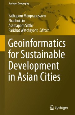
This proceedings volume focuses on the importance and power of spatial thinking and planning, especially by applying geospatial technologies in solving the past and current global problems such as environmental degradation, urban pollution, climate change, agricultural management and epidemiology.The proceedings of the International Conference on Geography and Geoinformatics for Sustainable Development 2018 (ICGGS 2018) consist of a wide range of case studies from developing countries.
The contributions address challenges of developing countries in mainstreaming sustainable development paradigm into their economy with the aim to improve and manage natural resources and environment in a sustainable manner.
One of the main goals of the conference and the proceedings is to share and exchange different perspectives on global, regional and local spatial issues and how the concept of spatial planning and thinking can be used in building resilience to natural and anthropogenic threats in many sectors (such as water, ecosystem, agriculture and health). This includes a summary of how the key concepts of geospatial technologies could contribute to environmental sustainability and the Sustainable Development Goals (SDGs) as well as an outlook on challenges and opportunities for sustainable development. This book explains how geoinformatics can help analyse, model and explain sustainable development within a geographic context and thus provide the integrative framework necessary for global collaboration consensus and evidence-based decision-making. It highlights the vital and integrative role of geospatial information in driving sustainable development and thus can be used as a tool to put the 2030 Agenda for Sustainable Development into practice.
This volume can be a useful resource for readers regarding research on geospatial issues on both the regional and local scale. Both undergraduate and graduate students around the globe can advance their academicand research knowledge of past and present environmental problems and learn how geospatial planning can be applied for sustainable development. It also appeals to researchers, academics, practitioners, community developers and policy makers interested in promoting sustainable development.

