This book demonstrates how GIS techniques and statistical methods can be used to emphasise the characteristics of population and its related variables, vis-à-vis care facilities and the status of vector borne diseases, as well as for malaria modeling. Concentrating on the Varanasi district of India, the main aim of the book is to determine and map the density areas of vector borne diseases using GIS techniques. The book explores how health GIS is an important sub-discipline of health science and medical geography, which is traditionally focused on the spatial aspects of disease ecology and health care facility analysis.…mehr
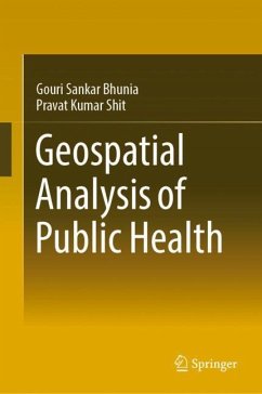
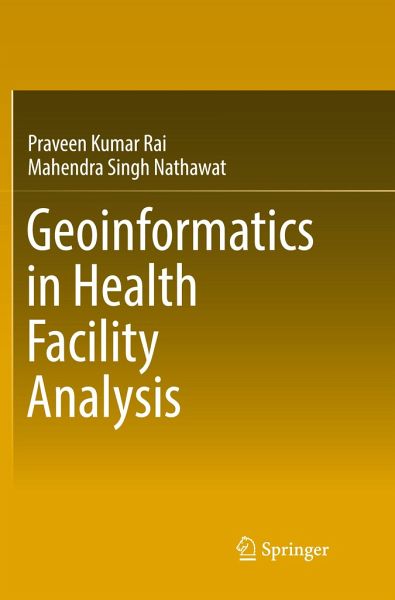
This book demonstrates how GIS techniques and statistical methods can be used to emphasise the characteristics of population and its related variables, vis-à-vis care facilities and the status of vector borne diseases, as well as for malaria modeling. Concentrating on the Varanasi district of India, the main aim of the book is to determine and map the density areas of vector borne diseases using GIS techniques.
The book explores how health GIS is an important sub-discipline of health science and medical geography, which is traditionally focused on the spatial aspects of disease ecology and health care facility analysis.
Die Herstellerinformationen sind derzeit nicht verfügbar.
Autorenporträt
Dr. Praveen Kumar Rai is working as an Assistant Professor of Remote Sensing and GIS course in Department of Geography, Institute of Science Banaras Hindu University, Varanasi, India since 25 th August 2008. He did his M.Sc. in Geography with Remote Sensing specialization from Banaras Hindu University (2004-06) and M.Tech. in Remote Sensing from Birla Institute of Technology, Mesra, Ranchi (2006-08). Dr. Rai also did his PhD. degree in Remote Sensing and GIS from Birla Institute of Technology, Mesra, Ranchi (2009-12). His area of specialization is Glacier Mapping Using Remote sensing. Land Use Land Cover Mapping, Health GIS, Natural Resource Mapping and Management, Regional & Urban Planning using GIS. He has published more than 38 international and national research papers in the various fields of Remote Sensing and GIS and has also written 2 books in the application of Remote Sensing and GIS. Prof. M.S.Nathawat is a well-known Geographer. After his M.A. in Geography from Rajasthan University (1980), he worked in South Asia Study Centre, University of Rajasthan as a Research Fellow (1982-1984) and then he joined as a Scientist/Lecturer (1985-93) and Senior Scientific Officer and in-charge (1993-98) in Dept. of Remote Sensing, B.M. Birla Science & Technology Centre, Jaipur. He also joined State NRDMS Centre, Dept. of Science & Technology, Govt. of Haryana as a Project Director (1998-2001). Prof. Nathawat headed Department of Remote Sensing & Geoinformatics, Birla Institute of Technology (BIT), Mesra, Ranchi (India) from 2001 to 2011. At present Prof. Nathawat is working as a Professor in Geography Discipline School of Sciences, Indira Gandhi National Open University (IGNOU), New Delhi, India since 2011. He did his PG Diploma (1986-87) in Remote Sensing Techniques in Geology & Geomorphology, Indian Institute of Remote Sensing, Dept. of Space. Dehradun. He has completed his PhD (1992-96) in University of Rajasthan in the field of Geomorphological Aspects of the Processes of Desertification in Rajasthan: Monitoring & Dynamics with Remote Sensing. His area of specialization and research interest are Desertification, GIS, Natural Resources Management, Regional & Urban Planning, Environmental Geomorphology, Climate Change, Sustainable livelihood and Disaster Management. He has 30 years' research experiences and 16 years teaching experiences in the field of Remote Sensing and GIS and has published more than 60 research papers in various international and national journals and has also written 8 books. Prof Nathawat also made significant contributions in number of Atlases published by NRSC (ISRO), HSCST, and SAC etc. He has been awarded Baden-Wuerttemberg Fellowship-2009-10 (Under Indo-German Cultural Exchange Programme). Under his supervision more than 15 PhD. students and 42 M.Tech./M.Sc. students have completed their degree.
Inhaltsangabe
1. Health Care System and Geospatial Technology: A Conceptual Framework of the Study.- 2. Varanasi District: Study Area Profile.- 3. Integration of Census Data with GIS for Analysis of Population Characteristics.- 4. Analysis of Health Care Facility Using GIS.- 5. GIS in Vector Borne Disease Mapping.- 6. Malaria Susceptibility Mapping Using Statistical Methods with GIS.- 7. A Geographical Survey for Utilization of Health Care Facilities.- 8. GIS in Health Care Planning.- Bibliography.- Appendix.
Es gelten unsere Allgemeinen Geschäftsbedingungen: www.buecher.de/agb
Impressum
www.buecher.de ist ein Internetauftritt der buecher.de internetstores GmbH
Geschäftsführung: Monica Sawhney | Roland Kölbl | Günter Hilger
Sitz der Gesellschaft: Batheyer Straße 115 - 117, 58099 Hagen
Postanschrift: Bürgermeister-Wegele-Str. 12, 86167 Augsburg
Amtsgericht Hagen HRB 13257
Steuernummer: 321/5800/1497
USt-IdNr: DE450055826