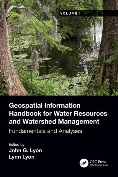
Volume I discusses fundamental characteristics, measurements and analyses of water features and watersheds including lakes and reservoirs, rivers and streams, and coasts and estuaries. This is the most comprehensive reference for the water research community worldwide.
Volume I discusses fundamental characteristics, measurements and analyses of water features and watersheds including lakes and reservoirs, rivers and streams, and coasts and estuaries. This is the most comprehensive reference for the water research community worldwide.Hinweis: Dieser Artikel kann nur an eine deutsche Lieferadresse ausgeliefert werden.
Over the years John and Lynn Lyon have worked on water issues with great interest and heart. A hallmark of their scholarship has been helping others with scientific authorship. Books are a great way to capture thoughts and methods making them accessible to others worldwide. In that vein here they have advanced a whole cadre of thought leaders with a broad focus on water. Whether local, regional, continental, or global scale water issues unite passions. Part of the challenge is the breadth and complexity of water. If many people take a piece the whole society can fashion sustainable outcomes. The Handbook is focused on presenting a number of ways to facilitate these thoughtful contributions. John earned his Doctorate at the University of Michigan and Lynn earned her Master's Degree at Ohio State University.
Inhaltsangabe
1. Introduction to Volume I of the Water Geospatial Handbook 2. Introduction to Volume I 3. Large-Scale Mapping and Monitoring Inland Waters by Google Earth Engine and Remote Sensing Techniques 4. Identification of Potential Runoff Storage Zones within Watersheds 5. Flood Risk Zone Mapping Using a Rational Model in Highly Weathered Nitisols of Southeastern Nigeria 6. Morphometric Indicators-Based Flood Vulnerability Assessment of Upper Satluj Basin Western Himalayas India 7. Remote Sensing Measures of Sandbars along the Shoreline of Sonadia Island Bangladesh 1972-2006 8. Integrated Soil Fertility Management for Climate Change Mitigation and Agricultural Sustainability 9. Monitoring Common Agricultural Cropping Across the US and Canadian Laurentian Great Lakes Basin Watershed Using MODIS-NDVI Data 10. SWAT Modeling of Sediment Yields for Selected Watersheds in the Laurentian Great Lakes Basin 11. Temporal Downscaling of Daily to Minute Interval Precipitation by Emulator Modeling-Based Genetic Optimization
Es gelten unsere Allgemeinen Geschäftsbedingungen: www.buecher.de/agb
Impressum
www.buecher.de ist ein Internetauftritt der buecher.de internetstores GmbH
Geschäftsführung: Monica Sawhney | Roland Kölbl | Günter Hilger
Sitz der Gesellschaft: Batheyer Straße 115 - 117, 58099 Hagen
Postanschrift: Bürgermeister-Wegele-Str. 12, 86167 Augsburg
Amtsgericht Hagen HRB 13257
Steuernummer: 321/5800/1497
USt-IdNr: DE450055826