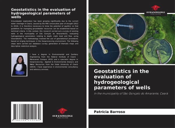
Geostatistics in the evaluation of hydrogeological parameters of wells
In the municipality of São Gonçalo do Amarante, Ceará
Versandkostenfrei!
Versandfertig in 6-10 Tagen
27,99 €
inkl. MwSt.

PAYBACK Punkte
14 °P sammeln!
Groundwater exploration has been growing significantly due to the current water shortage in Ceará, caused by the fifth consecutive year of drought (2012 to 2016). It is therefore necessary to know the potential of aquifers so that guidelines for managing groundwater resources can be established based on technical criteria. In this context, this research carried out a survey of existing wells in the municipality of São Gonçalo do Amarante/CE, evaluating hydrogeological parameters relating to depth, static level and flow, using Geostatistics. The methodology involved the use of geostatistical...
Groundwater exploration has been growing significantly due to the current water shortage in Ceará, caused by the fifth consecutive year of drought (2012 to 2016). It is therefore necessary to know the potential of aquifers so that guidelines for managing groundwater resources can be established based on technical criteria. In this context, this research carried out a survey of existing wells in the municipality of São Gonçalo do Amarante/CE, evaluating hydrogeological parameters relating to depth, static level and flow, using Geostatistics. The methodology involved the use of geostatistical procedures based on kriging techniques in the Geoprocessing environment. The following steps were carried out: database survey; generation of thematic maps and descriptive statistical analysis.


