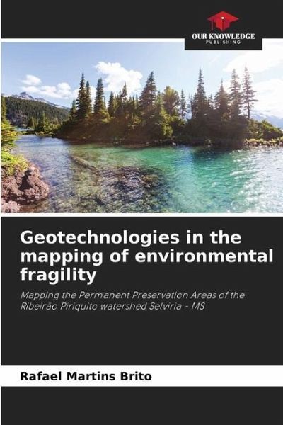
Geotechnologies in the mapping of environmental fragility
Mapping the Permanent Preservation Areas of the Ribeirão Piriquito watershed Selviria - MS
Versandkostenfrei!
Versandfertig in 6-10 Tagen
27,99 €
inkl. MwSt.

PAYBACK Punkte
14 °P sammeln!
The present work is focused on the study of the Areas of Permanent Preservation (APP's) and Land Use and Occupation of the Watershed Ribeirão Periquito, which is part of the drainage network of the municipality of Selvíria in the state of Mato Grosso do Sul, which is a tributary of the Rio Sucuriú on its left bank composing an important hydrographic region in the state of Mato Grosso do Sul, formed by the Rio Paraná to the east, Rio Verde to the south and Rio Quitéria to the north. The Watershed of Ribeirão Periquito is located between the geographical coordinates 20° 32' 12" S, 51° 36...
The present work is focused on the study of the Areas of Permanent Preservation (APP's) and Land Use and Occupation of the Watershed Ribeirão Periquito, which is part of the drainage network of the municipality of Selvíria in the state of Mato Grosso do Sul, which is a tributary of the Rio Sucuriú on its left bank composing an important hydrographic region in the state of Mato Grosso do Sul, formed by the Rio Paraná to the east, Rio Verde to the south and Rio Quitéria to the north. The Watershed of Ribeirão Periquito is located between the geographical coordinates 20° 32' 12" S, 51° 36' 34" W and 20° 22' 37" S, 51° 45' 6" W. The study is directed towards the evaluation of the respective areas of permanent preservation, possible changes in their dynamics, consistent with the forms of occupation of this region, whether by forestry or livestock. Therefore, the studied environment will be structured in the following way: the Watershed of the Ribeirão Periquito River and a component part of the Subsystem Sucuriú River Watershed, which has the Paraná River Watershed as its System.


