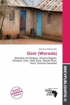
Please note that the content of this book primarily consists of articles available from Wikipedia or other free sources online. Ginir is one of the 180 woredas in the Oromia Region of Ethiopia. It is named after the administrative center of the woreda, Ginir. Part of the Bale Zone, Ginir is bordered on the south by the Gestro River which separates it from Goro, on the west by Sinanana Dinsho, on the northwest by Gaserana Gololcha, on the northeast by Seweyna, and on the east by Raytu. Towns include Delo Serbo. About 15% of the area of this woreda is covered with valley, gorges and hills. Rivers include the Dinkit, Gololcha and Tebel Rivers. A survey of the land in this woreda shows that 30.5% is arable or cultivable, 31.2% pasture, 35.6% forest, and the remaining 2.7% is considered swampy, mountainous or otherwise unusable. Khat, fruits and vegetables are important cash crops.
Bitte wählen Sie Ihr Anliegen aus.
Rechnungen
Retourenschein anfordern
Bestellstatus
Storno

