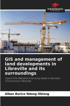
In Gabon, talking about land has become a taboo subject, because there are a number of inconsistencies in the allocation of plots. Thus, to overcome certain shortcomings, geographic information systems (GIS) appear to be one of the solutions to this management, which is considered "fraudulent" and "partisan" by a large part of the population. GIS thus appears to be a decision-making tool that can be used to reduce inequalities in land management in Gabon. It is a necessary and very practical tool. It reduces not only the costs of service, but also the working time. Therefore, the State, as the owner of land in Gabon, can better fight against the anarchic occupation of plots and direct the population towards serviced land in order to control urbanization.
Bitte wählen Sie Ihr Anliegen aus.
Rechnungen
Retourenschein anfordern
Bestellstatus
Storno

