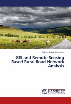
GIS and Remote Sensing Based Rural Road Network Analysis
Versandkostenfrei!
Versandfertig in 6-10 Tagen
32,99 €
inkl. MwSt.

PAYBACK Punkte
16 °P sammeln!
In Ethiopian where walking and non-motorized transport are the major forms of transport in rural areas and the development of the technologies to control and manage this rural network and accessibility is at its infancy level, in the other hand poorly integrated transport management systems and communication among the federal and regional transport offices makes information gaps for successful decision making. The power of GIS and Remote Sensing as decision support and executive information system is needed at this time than before. Thus, the study show how the GIS and Remote Sensing technique...
In Ethiopian where walking and non-motorized transport are the major forms of transport in rural areas and the development of the technologies to control and manage this rural network and accessibility is at its infancy level, in the other hand poorly integrated transport management systems and communication among the federal and regional transport offices makes information gaps for successful decision making. The power of GIS and Remote Sensing as decision support and executive information system is needed at this time than before. Thus, the study show how the GIS and Remote Sensing technique applicable for road sector information management system and analyze the accessibility and coverage of the road network. the study has been conducted in North Showa , Amhara Region , Ethiopia where most rural population isolated from economic and social facilities. high resolution satellite image , demographic data and topographic map has been used to built the Geo-database and Analyzed in ErcGIS and ERDAS IMAGINE Environment. Results revel that , more than 50% of the rural population far from 2 Kilometers away from all weather road.


