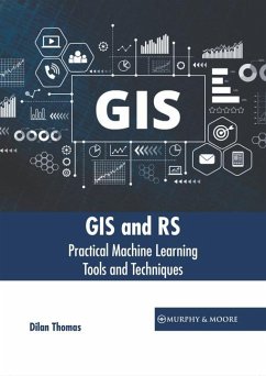
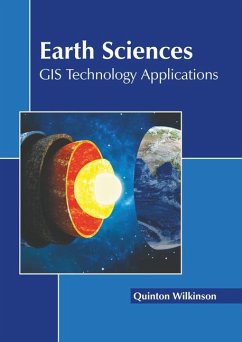
Machine learning (ML) refers to an artificial intelligence (AI) technique that teaches computers to learn from experiences. The algorithms of ML utilize computational techniques to learn information directly from data rather than using a preconceived equation as a model. ML is divided into two main categories, which include supervised learning and unsupervised learning. Each of them has diverse uses in geographic information system (GIS) and remote sensing (RS). ML is a key component of spatial analysis in GIS. It is extremely helpful for analyzing data in a variety of domains, including processing of satellite images. ML tools are primarily used in the processing of remote sensing data for interpretation, filtering and prediction. This book unravels the recent studies on machine learning tools and techniques for GIS and RS. As machine learning is emerging at a rapid pace, its contents will help the readers understand the modern concepts and applications of the subject. The book will serve as a valuable source of reference for graduate and postgraduate students.
Bitte wählen Sie Ihr Anliegen aus.
Rechnungen
Retourenschein anfordern
Bestellstatus
Storno

