• Produktbild: GIS Applications in Agriculture, Volume Three
  • Produktbild: GIS Applications in Agriculture, Volume Three

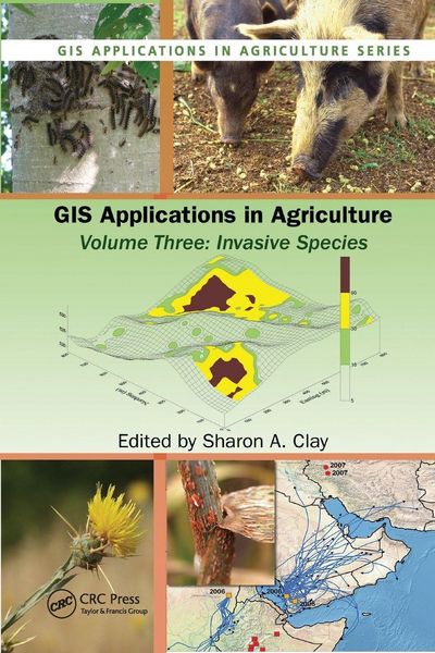
GIS Applications in Agriculture, Volume Three Invasive Species

111,99 €

inkl. gesetzl. MwSt., Versandkostenfrei

Lieferung nach Hause

Beschreibung

Produktdetails

Einband

Taschenbuch

Erscheinungsdatum

19.09.2019

Herausgeber

Clay Sharon A.

Verlag

Taylor & Francis

Seitenzahl

448

Maße (L/B/H)

23,4/15,6/2,4 cm

Gewicht

657 g

Sprache

Englisch

ISBN

978-0-367-38305-3

Beschreibung

Produktdetails

Einband

Taschenbuch

Erscheinungsdatum

19.09.2019

Herausgeber

Clay Sharon A.

Verlag

Taylor & Francis

Seitenzahl

448

Maße (L/B/H)

23,4/15,6/2,4 cm

Gewicht

657 g

Sprache

Englisch

ISBN

978-0-367-38305-3

Kundinnen und Kunden meinen

0 Bewertungen

Informationen zu Bewertungen

Zur Abgabe einer Bewertung ist eine Anmeldung im Konto notwendig. Die Authentizität der Bewertungen wird von uns nicht überprüft. Wir behalten uns vor, Bewertungstexte, die unseren Richtlinien widersprechen, entsprechend zu kürzen oder zu löschen.

Die Bewertungen sind nach Format, Anzahl Sterne und Datum sortiert.

Verfassen Sie die erste Bewertung zu diesem Artikel

Helfen Sie anderen Kund*innen durch Ihre Meinung

Kundinnen und Kunden meinen

0 Bewertungen filtern

  • Produktbild: GIS Applications in Agriculture, Volume Three
  • Produktbild: GIS Applications in Agriculture, Volume Three
  • Introduction: Remote Sensing and GIS Techniques for the Detection, Surveillance, and Management of Invasive Species. Obtaining Spatial Data. Population Ecology Considerations for Monitoring and Managing Biological Invasions. Integrating GPS, GIS, and Remote Sensing Technologies with Disease Management Principles to Improve Plant Health. Mapping Actual and Predicted Distribution of Pest Animals and Weeds in Australia. Use of GIS Applications to Combat the Threat of Emerging Virulent Wheat Stem Rust Races. An Online Aerobiology Process Model. Site Specific Management of Green Peach Aphid, Myzus persicae (Sulzer). Analysis of the 2002 Equine West Nile Virus Outbreak in South Dakota Using GIS and Spatial Statistics. Designing a Local-scale Microsimulation of Lesser Grain Borer Population Dynamics and Movements. Geographic Information Systems in Corn Rootworm Management,. Improving Surveillance for Invasive Plants: A GIS Toolbox for Surveillance Decision Support. Tracking Invasive Weed Species in Rangeland Using Probability Functions to Identify Site Specific Boundaries: A Case Study Using Yellow Starthistle (Centaurea solstitialis L.). Using GIS to Map and Manage Weeds in Field Crops. Adapting Geostatistics to Analyze Spatial and Temporal Trends in Weed Populations. Using GIS to Investigate Weed Shifts After Two Cycles of a Corn/Soybean Rotation. Creating and Using Weed Maps for Site-Specific Management.