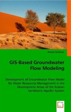
This work was an attempt to develop a three-dimensional groundwater flow model for the Nubian Sandstone Aquifer System that is based on GIS-Database integration. This approach was proposed to 1) define and calibrate the regional boundary conditions of the aquifer, 2) to simulate the groundwater management options for the different stressed areas within the aquifer, and 3) to predict the environmental impact of the present and future groundwater extraction schemes on the different exploitation sites. The calibration was carried out under the transient conditions for the period 1960-2005 based on the availability and temporal distribution of the data. The calibrated regional model was used afterward for the development and integration of local-scale models for the Dakhla oasis, Lake Nasser, and the Tushka area, to consider local detailed data inputs and to give a deeper view on the local hydrodynamic changes. Based on the actual and full capacity planned extraction rates of the NSAS, five extraction scenarios were suggested in an attempt to investigate the most feasible groundwater management option in terms of the economic lifting depth in a prediction simulation until 2100.
Bitte wählen Sie Ihr Anliegen aus.
Rechnungen
Retourenschein anfordern
Bestellstatus
Storno

