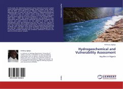
Effluents from industries and use of fertilizers and pesticides for agricultural developments are threats to groundwater quality. Remediation of contaminated groundwater is costly but groundwater protection is possible through enforcement of development policies based on scientific researches such as vulnerability assessment to contamination. This work focuses on Atebela groundwater catchment, Sebeta area. In recent years, groundwater quality has been deteriorating due to agricultural and industrial expansion which release potentially hazardous contaminants. The work applied DRASTIC model for the assessment of groundwater vulnerability to contamination in Atebela groundwater catchment. It employs a numerical ranking system that assigns relative weights to hydrogeological factors that control the fate of groundwater contaminants. The mapping process involved GIS as a tool for overlaying the various layers to produce vulnerability maps. They are useful to provide zoning for groundwater protection and are presented in a clear format for the use by policy and decision makers to develop appropriate legislative framework for the protection of the groundwater system.
Bitte wählen Sie Ihr Anliegen aus.
Rechnungen
Retourenschein anfordern
Bestellstatus
Storno

