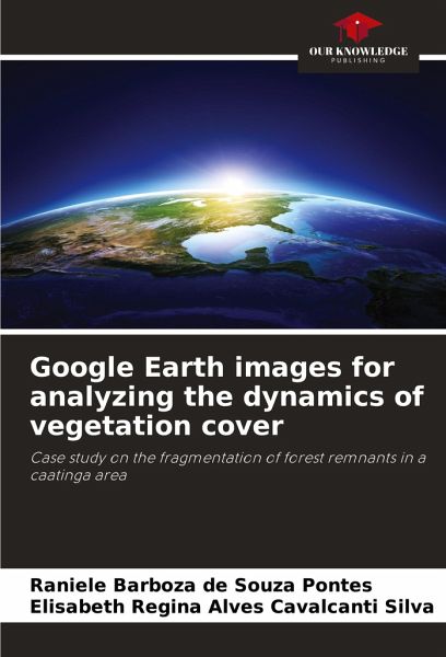
Google Earth images for analyzing the dynamics of vegetation cover
Case study on the fragmentation of forest remnants in a caatinga area
Versandkostenfrei!
Versandfertig in 6-10 Tagen
18,99 €
inkl. MwSt.

PAYBACK Punkte
9 °P sammeln!
The package of tools currently offered by Google Earth through high-resolution orbital images enables detailed observation of practically the entire surface of the planet. The use of these tools offers great potential for observing and researching geomorphology, particularly by recording landscapes and their changes over time, thus enabling new perspectives for analysis, as well as complementing the performance of traditional methods already in use. With this in mind, this exploratory study analyzes the dynamics of vegetation cover in an area of Caatinga in northeastern Brazil over the course ...
The package of tools currently offered by Google Earth through high-resolution orbital images enables detailed observation of practically the entire surface of the planet. The use of these tools offers great potential for observing and researching geomorphology, particularly by recording landscapes and their changes over time, thus enabling new perspectives for analysis, as well as complementing the performance of traditional methods already in use. With this in mind, this exploratory study analyzes the dynamics of vegetation cover in an area of Caatinga in northeastern Brazil over the course of a decade, using only the visual interpretation of satellite images made available by Google Earth, with the aim of contributing to the use of the service by institutions and ordinary citizens in observing natural and anthropogenic changes to the earth's surface. It was concluded that between May 2002 and September 2013, in the 16,501 hectares studied, there was a reduction of 495 hectaresof vegetation cover, as well as an increase in the fragmentation of forest remnants.


