122,99 €
inkl. MwSt.
Versandkostenfrei*
Versandfertig in 2-4 Wochen
payback
61 °P sammeln
  • Gebundenes Buch

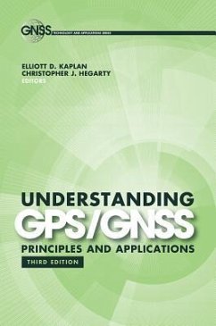
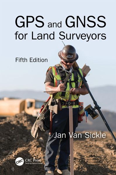
Based on the success of the previous four editions, this new edition includes Global Navigation Satellite Systems (GNSS) in the title, which is part of GPS. The book introduces the concepts needed to understand and use GPS and GNSS, offering a rare combination of knowledge and skills that every land surveyor needs to master.

Produktbeschreibung
Based on the success of the previous four editions, this new edition includes Global Navigation Satellite Systems (GNSS) in the title, which is part of GPS. The book introduces the concepts needed to understand and use GPS and GNSS, offering a rare combination of knowledge and skills that every land surveyor needs to master.
Hinweis: Dieser Artikel kann nur an eine deutsche Lieferadresse ausgeliefert werden.
Autorenporträt
Jan Van Sickle has been a licensed Professional Land Surveyor for forty-three years and is currently licensed in Colorado, California, Oregon, Texas, North Dakota, West Virginia, and Pennsylvania. He supervised control work using the first commercial GPS receiver suitable for geodetic work, the Macrometer V-1000. He led the team that produced control positions for more than 120 cities around the world, assisted in the first GPS survey of the Grand Canyon, was involved in the BIM of the White House, gave technical assistance in the reconstruction of the geodetic network of Nigeria, managed the imagery and gravity analysis in the South Gobi, delivered the 2021 keynote at the NSPS URISA Summit, taught at Penn State and the University of Colorado, and was a member of the Royal Institute of Chartered Surveyors. Jan earned his Ph.D. in geospatial engineering from the University of Colorado. He is an ASPRS Certified Photogrammetrist and Mapping Scientist, Lidar and the Principal Geodetic Engineer at Maxar Technologies. Website: www.janvansickle.com