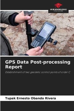
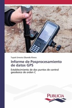
Knowing the fascinating world of Geodesy you can know the orientation, inclination and development of the earth's surface, and the planet as such. Here is a sample of this magical world of scientific knowledge applied to an area of the municipality of Teustepe in the Department of Boaco in Nicaragua known as Finca La Coca, a rural site located a few minutes from the town of Teustepe. In this book you will find the most varied graphs, maps, tables and data useful and practical for decision making aimed at the physical planning of territory and municipal ordinance. A book with rich content, carefully elaborated and revised for those who wish to learn about topography, geodesy and rural cartography, as well as field measurement through GPS technology and in situ data collection. This book is intended for students and professionals of Geology, Geography, History, planning specialists, geodesy engineers, and Social Communicators.
Bitte wählen Sie Ihr Anliegen aus.
Rechnungen
Retourenschein anfordern
Bestellstatus
Storno

