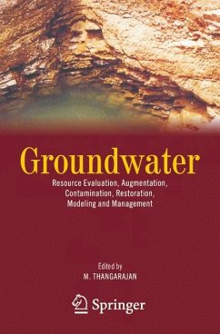
The demand for water resources is increasing day by day due to ever increasing population, mostly from developing countries. This has resulted in abstracting more water from the subsurface stratum and forcing the water managers to manage the limited groundwater resources in a more scientific way, which in turn needs a more sophisticated way of assessing the underground resource and manage it optimally. There is an urgent need to locate high yielding boreholes in the hard rock region by using geophysical methods. Electrical imaging technique in conjunction with remote sensing and geographical information system (GIS) technique has proved to be a potential tool for the purpose. Hydrodynamics of fractured aquifer system in hard rock region is not yet fully understood. The understanding of the groundwater pollution migration in porous and fractured aquifer system and the seawater intrusion in the coastal aquifer has to be improved further. Various aspects of groundwater modeling and in particular issues related to model calibration, validation and prediction has to be understood in much better way. One should integrate all the above issues for effective understanding of the assessment and management of groundwater resources. There is a need to have a comprehensive book to deal with all the above. My former colleague, Dr. M. Thangarajan, Retired Scientist-G, NGRI, Hyderabad, India has successfully edited a book on GROUNDWATER (Resource Evaluation, Augmentation, Contamination, Restoration, Modeling and Management) by inviting topics from various experts across the globe.
Bitte wählen Sie Ihr Anliegen aus.
Rechnungen
Retourenschein anfordern
Bestellstatus
Storno

