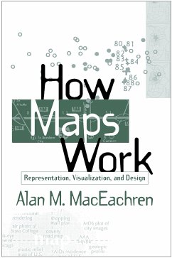
This book is the first systematic integration of cognitive and semiotic approaches to understanding maps as powerful, abstract, and synthetic spatial representations. Presenting a perspective built on four decades of cartographic research, along with research from other areas, it explores how maps work at multiple levels - from the individual to societal - and provides a cohesive picture of how the many representational choices inherent in mapping interact with the processing of information construction of knowledge. Utilizing this perspective, the author shows how the insights derived from a better understanding of maps can be used in future map design. Although computers now provide the graphic tools to produce maps of similar or better quality than those produced by previous manual techniques, they seldom incorporate the conceptual tools needed to make informed symbolization and design decisions. The search for these conceptual tools is the basis for How Maps Work.
Hinweis: Dieser Artikel kann nur an eine deutsche Lieferadresse ausgeliefert werden.
Hinweis: Dieser Artikel kann nur an eine deutsche Lieferadresse ausgeliefert werden.

