32,99 €
inkl. MwSt.
Versandkostenfrei*
Versandfertig in 1-2 Wochen
payback
16 °P sammeln
  • Broschiertes Buch

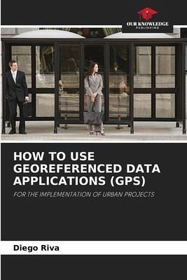
Two investigations that exemplify in a simple way new ways of linking geo-referenced data with public domain applications to obtain, process, survey and model urban intervention projects in medium-sized cities (e.g. Tandil and Rauch in Argentina). One of the researches relies on georeferencing technology to optimize the installation of public transport shelters. The other one proposes the use of a georeferencing location application for the development of audio guides oriented to promote the built heritage.

Produktbeschreibung
Two investigations that exemplify in a simple way new ways of linking geo-referenced data with public domain applications to obtain, process, survey and model urban intervention projects in medium-sized cities (e.g. Tandil and Rauch in Argentina). One of the researches relies on georeferencing technology to optimize the installation of public transport shelters. The other one proposes the use of a georeferencing location application for the development of audio guides oriented to promote the built heritage.
Hinweis: Dieser Artikel kann nur an eine deutsche Lieferadresse ausgeliefert werden.
Autorenporträt
Diego Riva: Stadtarchitekt, zuständig für den Bereich der städtischen Mobilitätsplanung in der Stadt Tandil. Gründerin und Koordinatorin des Instituts für Forschung, Entwicklung und Innovation von CAPBA d8. Er arbeitete im Bereich Raumordnung und war Präsident der Architektenkammer des Bezirks 8.