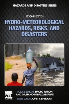
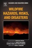
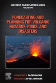
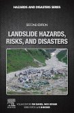
Hydro-Meteorological Hazards, Risks, and Disasters, 2e, provides an integrated look at the major disasters that have had, and continue to have, major implications for many of the world's people, such as floods and droughts. This new edition takes a geoscientific approach to the topic, while also covering current thinking about some scientific issues that are socially relevant and can directly affect human lives and assets. This new edition showcases both academic and applied research conducted in developed and developing countries, allowing readers to see the most updated flood and drought modeling research and their applications in the real world, including for humanitarian emergency purposes. Hydro-Meteorological Hazards, Risks, and Disasters, 2e, also contains new insights about how climate change affects hazardous processes. For the first time, information on the many diverse topics relevant to professionals is aggregated into one volume. It is a valuable reference to researchers, graduates, scientists, physical geographers, urban planners, landscape architects, and other people who work on the build environments of the world.
Hinweis: Dieser Artikel kann nur an eine deutsche Lieferadresse ausgeliefert werden.
Hinweis: Dieser Artikel kann nur an eine deutsche Lieferadresse ausgeliefert werden.

