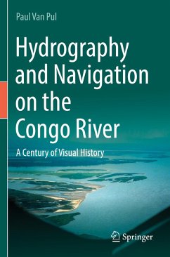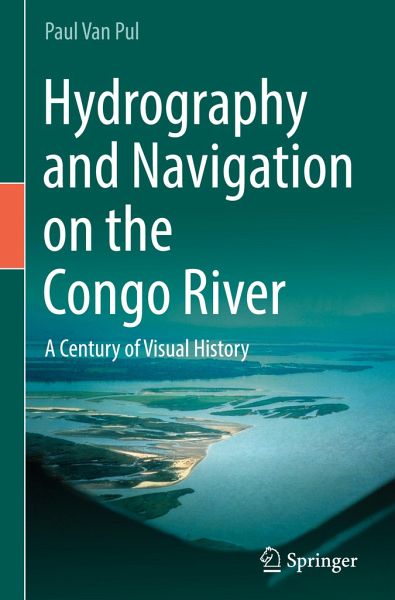
In a time without GPS and echosounder, European engineers and black labourers worked for decades to get a better understanding of the nautical intricacies of the Congo River. This is the first comprehensive story, in text and custom-made maps, of the, in flow, second largest river in the world. We follow the earliest explorers mapping the river, the expeditions to find an alternative access to the ocean and the first land and hydraulic surveys to improve navigation. The constant movement of shallows and islands keeps the guardians of the river constantly on their toes. Over the years, better…mehr
In a time without GPS and echosounder, European engineers and black labourers worked for decades to get a better understanding of the nautical intricacies of the Congo River. This is the first comprehensive story, in text and custom-made maps, of the, in flow, second largest river in the world. We follow the earliest explorers mapping the river, the expeditions to find an alternative access to the ocean and the first land and hydraulic surveys to improve navigation. The constant movement of shallows and islands keeps the guardians of the river constantly on their toes. Over the years, better technologies on all fronts improved safety, data collection and fairway maintenance. In conclusion, the author describes a proposal to develop a 21st container port that would rival any port facilities on the African west coast.
Die Herstellerinformationen sind derzeit nicht verfügbar.
Autorenporträt
The author, a Belgian Land Surveyor, has a lifelong, technical affiliation with rivers. First as a teenager cruising on the Dutch Waterways and later investigating and publishing about the post-war expansion of the Port of Antwerp-Bruges, his hometown. Even since living in Canada, he did not give up on his Low Countries roots. His first books concerned inundating large tracts of land to stop an invading army - a very appropriate subject in today's geopolitical environment. His latest book told the story of a failed attempt to build the first hydropower dam in his adopted Canadian Province of Saskatchewan. With this new project, he returns to Belgium and its once colony, now the Democratic Republic of the Congo. He analyses a century of hydraulic research and navigation in Central Africa. With his knack for drafting, the story brims with custom-made maps and charts depicting the evolution of water transport in the Congo River basin. Along the way, he tells the forgotten story of howthe Congo almost became a land-locked country and, with his lifelong knowledge of Historic River Engineering, he even proposes a plan to vastly enhance the nautical access to this great and promising African country.
Inhaltsangabe
Part I. General hydrographic description of the Haut-Congo Basin.- Chapter 1. Introduction to the general geography of the DRC.- Chapter 2. Early shipping on the Haut-Congo.- Chapter 3. From the source to Kisangani: The Upper-Congo.- Chapter 4. From Kisangani to Mbandaka: The High Middle-Congo and Ubangi.- Chapter 5. The Low Middle-Congo: From Mbandaka to Tsumbiri.- Chapter 6. The last stretch to Kinshasa: The Congo Couloir.- Chapter 7. The Upper-Kasai watershed.- Chapter 8. The Sankuru, Fimi-Lukenie and Lower-Kasai tributaries.- Chapter 9. The Kwango and Kwilu River watersheds.- Chapter 10. The Congo Cataracts.- Part II. Early European mapping of the Maritime Congo River.- Chapter 11. The first Europeans venture up the Congo Estuary.- Chapter 12. The Kouilou-Niari, an alternative access?.- Chapter 13. The voyage from Europe to Congo.- Part III. The Hydrography of the Maritime Congo River.- Chapter 14. Introduction to the Bas-Congo.- Chapter 15. Early maps of the maritime river.- Chapter 16. The acute need for bathymetric surveys.- Chapter 17. Hydrographic basics in the tropics.- Chapter 18. A new navigation channel in the making.- Chapter 19. The Mateba Deceiving Bend (Barrage du Faux Bras de Mateba).- Chapter 20. Difficult years.- Chapter 21. Independence in 1960.- Chapter 22. Based on detailed land surveys.- Chapter 23. Epilogue: A concept for the future?
Es gelten unsere Allgemeinen Geschäftsbedingungen: www.buecher.de/agb
Impressum
www.buecher.de ist ein Internetauftritt der buecher.de internetstores GmbH
Geschäftsführung: Monica Sawhney | Roland Kölbl | Günter Hilger
Sitz der Gesellschaft: Batheyer Straße 115 - 117, 58099 Hagen
Postanschrift: Bürgermeister-Wegele-Str. 12, 86167 Augsburg
Amtsgericht Hagen HRB 13257
Steuernummer: 321/5800/1497
USt-IdNr: DE450055826