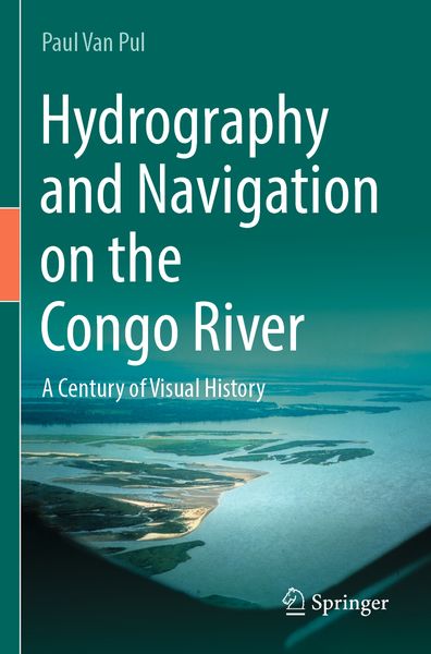
Hydrography and Navigation on the Congo River A Century of Visual History
-
- Hardcover
- Taschenbuch ausgewählt
- eBook
-
Sprache:Englisch
131,99 €
UVP
149,79 €
inkl. gesetzl. MwSt.,
Beschreibung
Produktdetails
Einband
Taschenbuch
Erscheinungsdatum
16.09.2024
Abbildungen
XV, 205 p. 1 illus.
Verlag
SpringerSeitenzahl
205
Maße (L/B/H)
23,5/15,5/1,3 cm
Gewicht
347 g
Auflage
2023
Sprache
Englisch
ISBN
978-3-031-41067-3
In a time without GPS and echosounder, European engineers and black labourers worked for decades to get a better understanding of the nautical intricacies of the Congo River. This is the first comprehensive story, in text and custom-made maps, of the, in flow, second largest river in the world. We follow the earliest explorers mapping the river, the expeditions to find an alternative access to the ocean and the first land and hydraulic surveys to improve navigation. The constant movement of shallows and islands keeps the guardians of the river constantly on their toes. Over the years, better technologies on all fronts improved safety, data collection and fairway maintenance. In conclusion, the author describes a proposal to develop a 21st container port that would rival any port facilities on the African west coast.
Noch keine Bewertungen vorhanden
Verfassen Sie die erste Bewertung zu diesem Artikel
Helfen Sie anderen Kundinnen und Kunden durch Ihre Meinung.
Kurze Frage zu unserer Seite
Vielen Dank für dein Feedback
Wir nutzen dein Feedback, um unsere Produktseiten zu verbessern. Bitte habe Verständnis, dass wir dir keine Rückmeldung geben können. Falls du Kontakt mit uns aufnehmen möchtest, kannst du dich aber gerne an unseren Kund*innenservice wenden.
zum Kundenservice