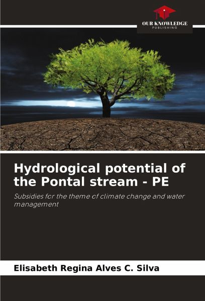
Hydrological potential of the Pontal stream - PE
Subsidies for the theme of climate change and water management
Versandkostenfrei!
Versandfertig in 6-10 Tagen
27,99 €
inkl. MwSt.

PAYBACK Punkte
14 °P sammeln!
Irrigated agriculture in Brazil's semi-arid region is the main economic activity in the region, which is why in recent decades there has been increased competition for the use of water available for irrigation in this area, with the aim of serving other sectors of society. With this in mind, this study sought to make a diagnosis of the Riacho do Pontal-PE Basin in terms of the natural availability of water for irrigation, and to assess the increase in hydro-agricultural potential that the increase in water to be made available through integration with the São Francisco River Basin will tend t...
Irrigated agriculture in Brazil's semi-arid region is the main economic activity in the region, which is why in recent decades there has been increased competition for the use of water available for irrigation in this area, with the aim of serving other sectors of society. With this in mind, this study sought to make a diagnosis of the Riacho do Pontal-PE Basin in terms of the natural availability of water for irrigation, and to assess the increase in hydro-agricultural potential that the increase in water to be made available through integration with the São Francisco River Basin will tend to bring. Data obtained from satellite images was used for a spatio-temporal analysis of evapotranspiration in the area, showing the growth of the irrigated perimeter in the Basin, and climatic and hydrological data was used to assess hydrological stress, with the aim of optimising the available water resources and proposing alternatives for more rational water management.


