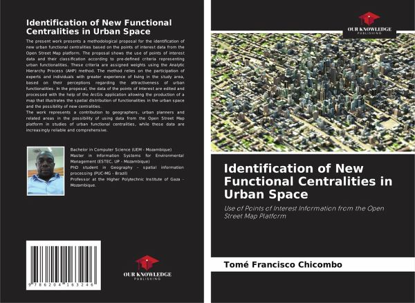
Identification of New Functional Centralities in Urban Space
Use of Points of Interest Information from the Open Street Map Platform
Versandkostenfrei!
Versandfertig in 6-10 Tagen
27,99 €
inkl. MwSt.

PAYBACK Punkte
14 °P sammeln!
The present work presents a methodological proposal for the identification of new urban functional centralities based on the points of interest data from the Open Street Map platform. The proposal shows the use of points of interest data and their classification according to pre-defined criteria representing urban functionalities. These criteria are assigned weights using the Analytic Hierarchy Process (AHP) method. The method relies on the participation of experts and individuals with greater experience of living in the study area, based on their perceptions regarding the attractiveness of ur...
The present work presents a methodological proposal for the identification of new urban functional centralities based on the points of interest data from the Open Street Map platform. The proposal shows the use of points of interest data and their classification according to pre-defined criteria representing urban functionalities. These criteria are assigned weights using the Analytic Hierarchy Process (AHP) method. The method relies on the participation of experts and individuals with greater experience of living in the study area, based on their perceptions regarding the attractiveness of urban functionalities. In the proposal, the data of the points of interest are edited and processed with the help of the ArcGis application allowing the production of a map that illustrates the spatial distribution of functionalities in the urban space and the possibility of new centralities.The work represents a contribution to geographers, urban planners and related areas in the possibility of using data from the Open Street Map platform in studies of urban functional centralities, while these data are increasingly reliable and comprehensive.


