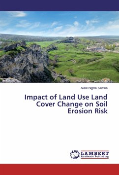
Nowadays the impact of land use land cover change on different natural and manmade resources including soil resources is getting increased attention globally. This study analyzed the land use land cover changes and the associated risk on soil erosion during a study period between 1987 and 2013 on Denki River catchment of Ankober Woreda. The data for the study were acquired from field survey and secondary sources. The 1987, 2000 and 2013 Landsat Thematic Mapper images were acquired and classified using supervised classification methods. Based on the two periods, the land use land cover types were categorized and their trend and rate were analysed. The RUSLE model was also used in a GIS platform to determine the influence of land use land cover changes on soil erosion of the study catchment during the two periods. Additionally, the spatial analysis revealed that the fragmentation of forest cover from mountainous and hilly areas and shrubs from relatively flat areas increased in cultivated lands on more slope areas and extensive cultivation practice in relatively more erosion-prone soils were the main factors contributing towards the increased soil erosion risk of the watershed.
Bitte wählen Sie Ihr Anliegen aus.
Rechnungen
Retourenschein anfordern
Bestellstatus
Storno

